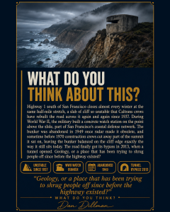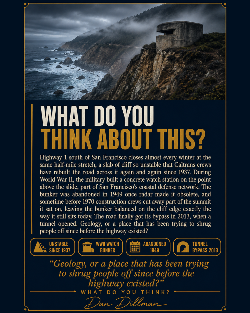

Highway 1 south of San Francisco closes almost every winter at the same half-mile stretch, a slab of cliff so unstable that Caltrans crews have rebuilt the road across it again and again since 1937, only for the hillside to slide it right back toward the ocean. Locals started calling it Devil’s Slide before the pavement was even finished, and the name stuck for nearly a century.
During World War II, the military built a concrete watch station on the point above the slide, part of San Francisco’s coastal defense network, where soldiers scanned the horizon for enemy ships and radioed coordinates to a six-inch gun battery nearby. The bunker was abandoned in 1949 once radar made it obsolete, and sometime before 1970, construction crews cut away part of the summit it sat on for a project that was never finished, leaving the bunker balanced on the cliff edge exactly the way it still sits today, roofless and covered in decades of graffiti, fenced off from a public that keeps finding ways in anyway.
The road itself finally got its bypass in 2013, when a tunnel opened and drivers stopped having to cross the slide at all. The old bunker is still up there watching an ocean nobody is defending it from anymore.
Makes you wonder if a stretch of coastline this unstable was ever meant to hold a road, or a watch post, in the first place.
Geology, or a place that has been trying to shrug people off since before the highway existed?