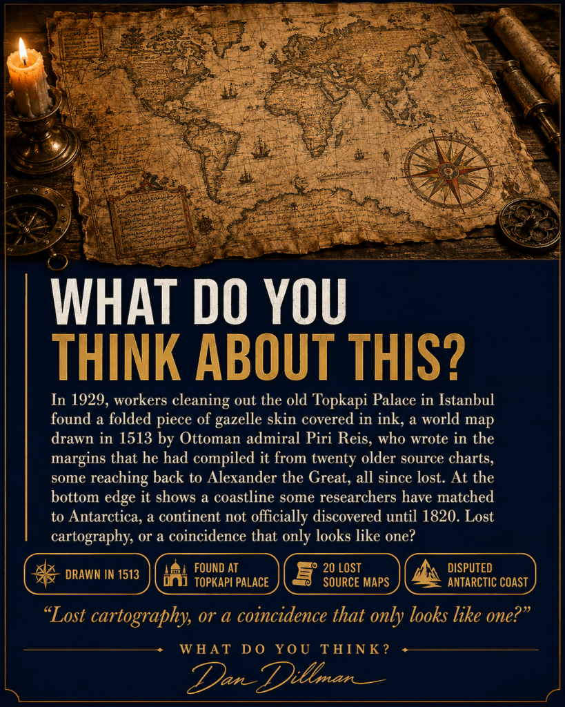

In 1929, workers cleaning out the old Topkapi Palace in Istanbul found a folded piece of gazelle skin covered in ink. It turned out to be a world map drawn in 1513 by Piri Reis, an Ottoman admiral, and in the margins he wrote that he had compiled it from twenty older source charts, some reaching back to the time of Alexander the Great, all of which have since been lost.
The map is remarkably accurate for its era along the coasts of West Africa and South America. Then, at the bottom edge, it shows a stretch of coastline that some researchers have matched to the shape of Antarctica’s Queen Maud Land, a continent that would not be officially discovered until 1820 and would not be mapped beneath its ice until the 1950s. Mainstream cartographers argue Piri Reis simply extended the South American coast into an imagined southern landmass, a common guess on maps of that era. Others point out how closely the outline matches modern seismic data of the land under the ice.
The admiral himself never claimed to know what lay under Antarctica. He only claimed to be copying maps older than his own civilization, maps nobody has ever found.
Could it be that Piri Reis really was working from source material we have never recovered, charts drawn by someone who saw that coastline before the ice came.
Lost cartography, or a coincidence that only looks like one?